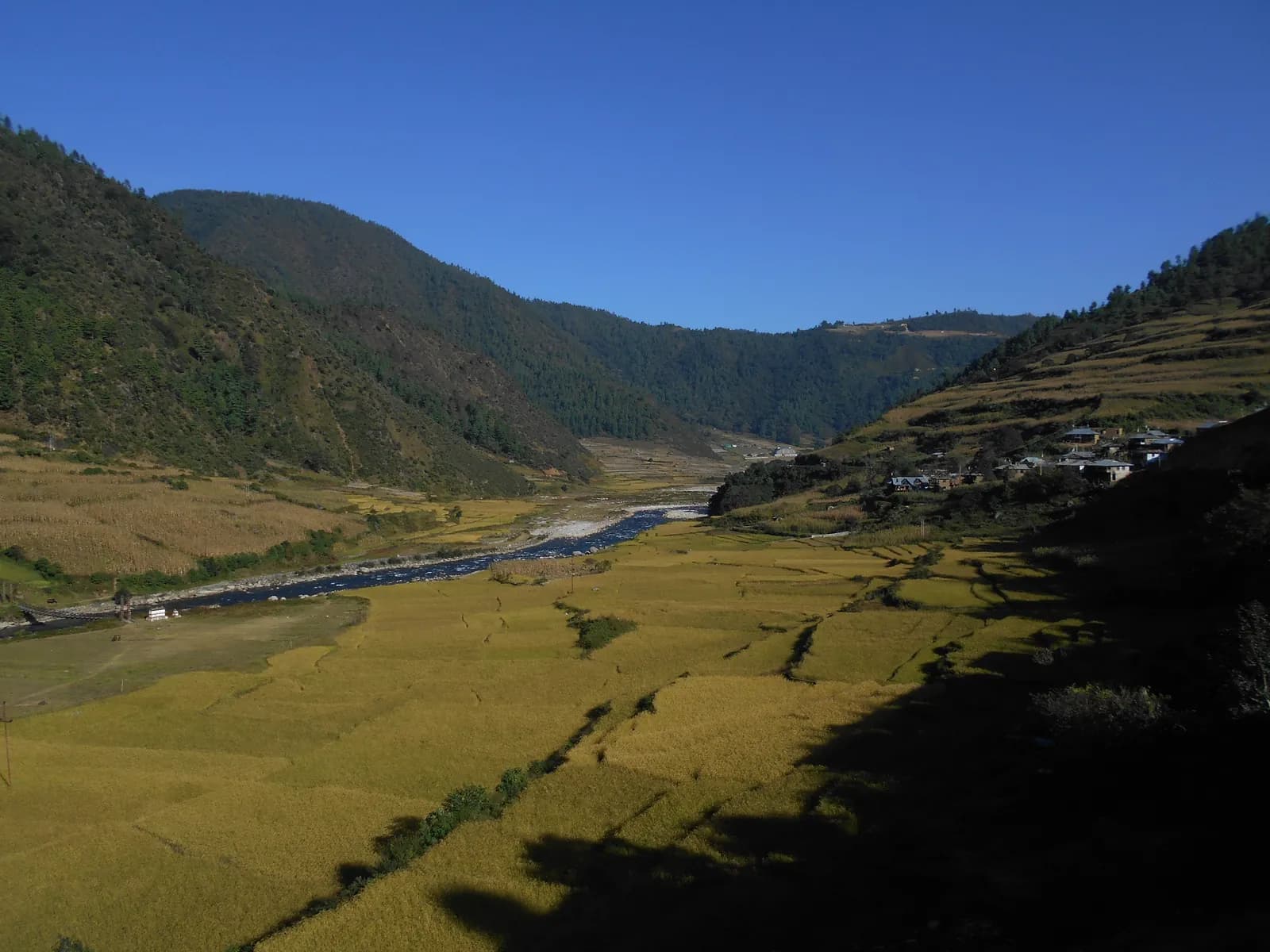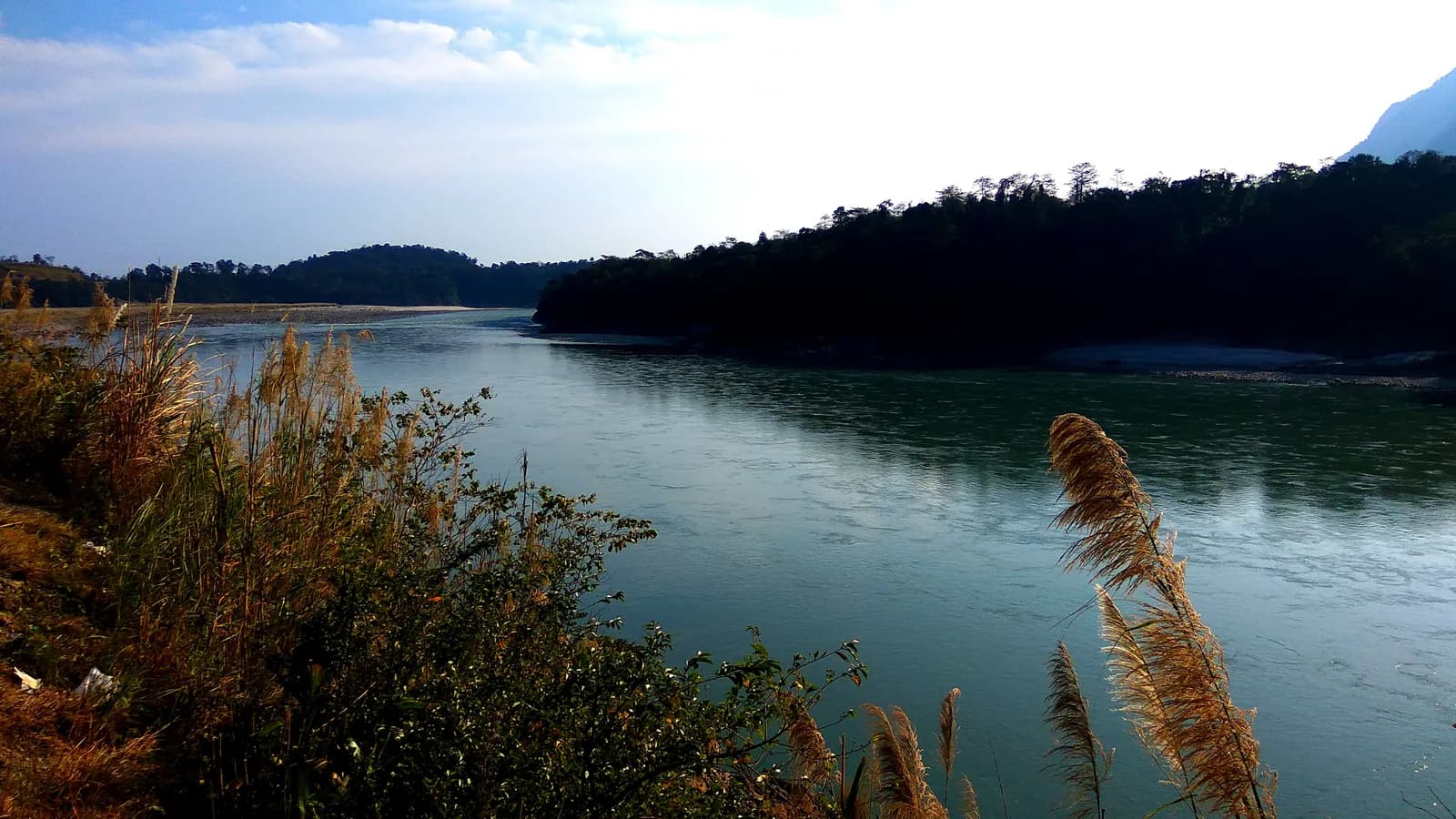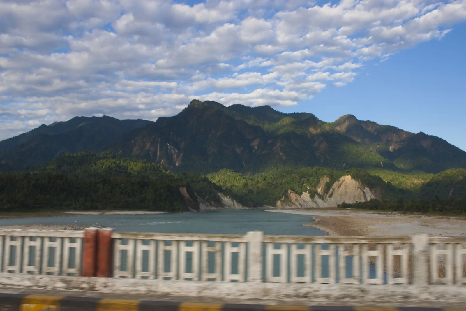
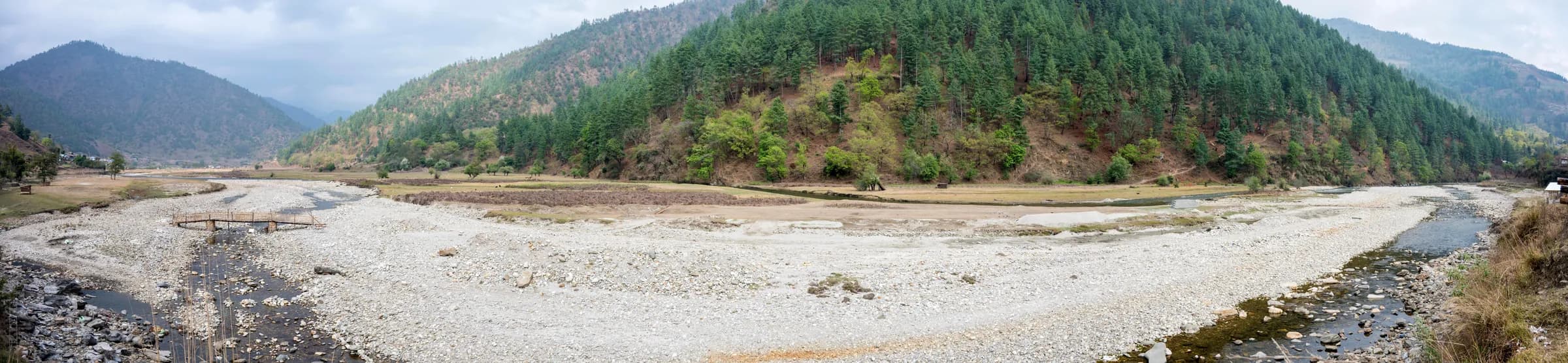
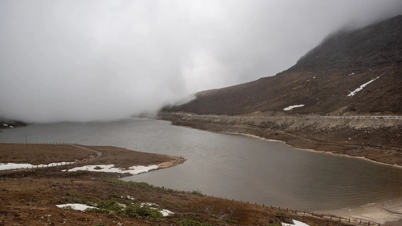
A wide panorama of the Sangti valley in West Kameng district, Arunachal Pradesh.

Ride Arunachal

Know the road before you meet it

"Sangti valley panorama" by Drashokk, CC BY-SA 4.0, via Wikimedia Commons

Why a motorsport body talks about tourism

The founding resolution commits AMA to promoting adventure, eco, community-based, expedition, cultural and motorsport tourism. The House recorded that Arunachal Pradesh's geographical diversity, mountain landscapes, forest trails, river systems and indigenous heritage give it exceptional potential as a motorsport and adventure destination — and that motorsport, run responsibly, can become a genuine catalyst for local economies and destination branding. This section is that commitment made practical.

  • Adventure tourism
  • Eco-tourism
  • Community-based tourism
  • Expedition tourism
  • Cultural tourism
  • Motorsport tourism

Permits

You cannot ride in without one

Arunachal Pradesh is a permit state. Which permit you need depends on your passport, and the two processes have nothing in common.

Inner Line Permit — Indian citizens

Every Indian citizen who is not a resident of Arunachal Pradesh needs an Inner Line Permit to enter the state. It is checked at the gate.

  • Apply online at the state's official e-ILP portal. A tourist permit is the stream most visitors need.
  • You will need a photograph (35×45mm, 20–50 KB) and a scanned ID — driving licence, passport, ration card, voter ID, Aadhaar or permanent residence certificate. Documents must be in English or Hindi. DigiLocker is accepted.
  • Fees differ by stream and duration, and the government's own portal currently shows two different tables. Check the fee on the portal at the time you apply.
  • Apply for the check gate you will actually ride through, and carry the printed permit together with the ID you applied with.
  • Approved payments are not reversible. Applying for the wrong gate means losing the fee.
  • The portal does not publish a turnaround commitment. Most tourist permits are approved quickly, but apply at least a week before you ride rather than relying on it.
  • Provisional permits accept a group application. Regular permits must be applied for individually — one permit per rider.
Official e-ILP portal

Protected Area Permit — foreign nationals

The ILP does not apply to foreign passport holders. The whole of Arunachal Pradesh sits inside India's Protected Area regime, so there is no unrestricted district for a foreign visitor.

  • Every foreigner except a citizen of Bhutan requires a Protected Area Permit.
  • Permits are granted only through the e-FRRO portal. Physical PAP/RAP permits are no longer issued, so older advice about collecting one in person is out of date.
  • Official lead times: apply at least 30 days ahead if you are still outside India, or at least 15 days ahead through the jurisdictional FRRO if you are already in the country. Start earlier than that in practice.
  • Foreign visitors are expected to travel on a pre-drawn itinerary sponsored by a recognised Indian travel agency, so a foreign entrant to any event is not a walk-up.
  • Group-size and itinerary conditions are set by the Ministry of Home Affairs and do change. Confirm current conditions on e-FRRO and with your sponsoring operator before booking anything.
  • A state royalty is payable. Figures circulating online disagree, so check the current rate with your operator rather than budgeting from a blog.
  • Nationals of some countries need prior Ministry of Home Affairs approval. Ask the ministry rather than relying on a published list.
  • The PAP chain is the single longest lead-time item in the whole entry process. Put it first on the checklist.
e-FRRO portal

Entry gates

Entry gates

The ILP is checked at the interstate boundary. Name the gate you will actually use. Gates are added and de-activated, so the live map on the e-ILP portal is the authority.

GateEnters fromOpens the route toNote
BhalukpongTezpur, SonitpurBomdila – Dirang – Sela – TawangThe classic Tawang gate
BanderdewaNorth LakhimpurItanagar and Naharlagun, onward to ZiroBusiest capital-bound gate
HollongiAssam, south of ItanagarItanagar capital complexDonyi Polo Airport sits here
KiminNorth LakhimpurZiro valley and the Subansiri beltThe usual gate for Ziro
LikabaliDhemaji sideAalo, Basar and the Siang beltWhere AMA was constituted
RuksinJonai / DhemajiPasighat, East Siang, Mechuka onwardStandard eastern-Siang entry
SunpuraAssamNamsai, Lohit and AnjawFar-east circuit
Namchik / NamdangMargherita sideChanglang, Miao, NamdaphaThe Namdapha approach
Check gate map on the e-ILP portal
Sources (2)

Season

When to go

The reliable window for road travel is October to April. May to September is the southwest monsoon, when landslides and washouts routinely close roads.

  • Jan

    Lowland

    Coldest. Deep snow at Sela and Mayudia. Lowland Siang and Namdapha are dry and pleasant.

  • Feb

    Lowland

    Still cold and snowy at altitude. Festival-dense — Losar and Nyokum fall here.

  • Mar

    Go

    Warming. Rhododendron season in West Kameng and Tawang. Snow receding from Sela.

  • Apr

    Go

    Warm and clear. Pre-monsoon thundershowers begin late in the month.

  • May

    Marginal

    Pre-monsoon storms build. First landslides. Front half only, with slack in the schedule.

  • Jun

    Avoid

    Monsoon onset.

  • Jul

    Avoid

    Peak rain. Roads cut.

  • Aug

    Avoid

    Peak rain. Roads cut.

  • Sep

    Avoid

    Still wet. Roads carry accumulated monsoon damage.

  • Oct

    Go

    Monsoon over, skies clearing, roads being repaired. The classic opening month.

  • Nov

    Go

    Cool, clear, stable. The best all-round month. Snow starts at Sela and Mayudia.

  • Dec

    Lowland

    Cold, clear, short days. Dong draws New Year sunrise visitors.

Sela Pass — what changed in 2024

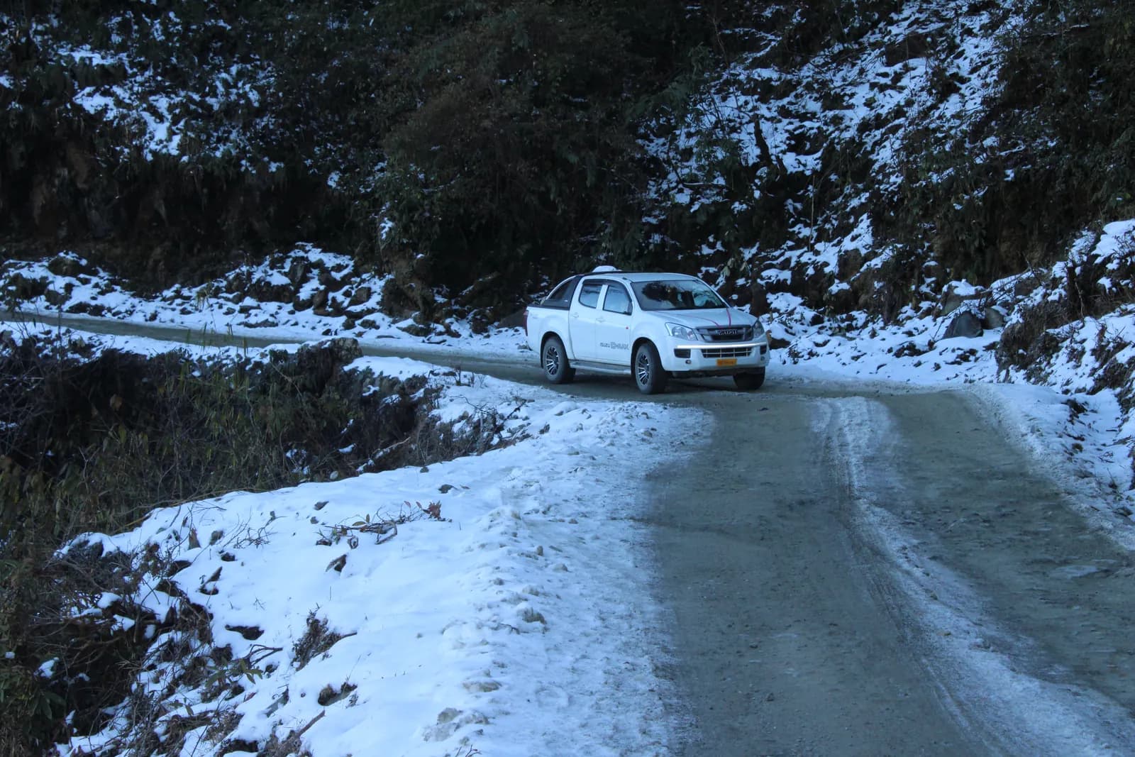
Sela sits at about 4,170 m and is generally snow-covered from November to March. The Sela Tunnel, opened in March 2024, passes beneath at around 3,000 m and gives all-weather connectivity on NH-13 between Guwahati and Tawang. Guidance written before 2024 saying Tawang is cut off each winter is now out of date. The pass road itself still closes in heavy snow, so check with the Border Roads Organisation and the local administration before a winter run.

Sources for seasonality
Sources (3)

Destinations

Twelve places worth the drive

Elevations are approximate. Mountain settlements sprawl across hundreds of metres of vertical, so these are rounded figures rather than survey data.

  • Tawang, Tawang district, Arunachal Pradesh.Paved

    Tawang

    Tawang

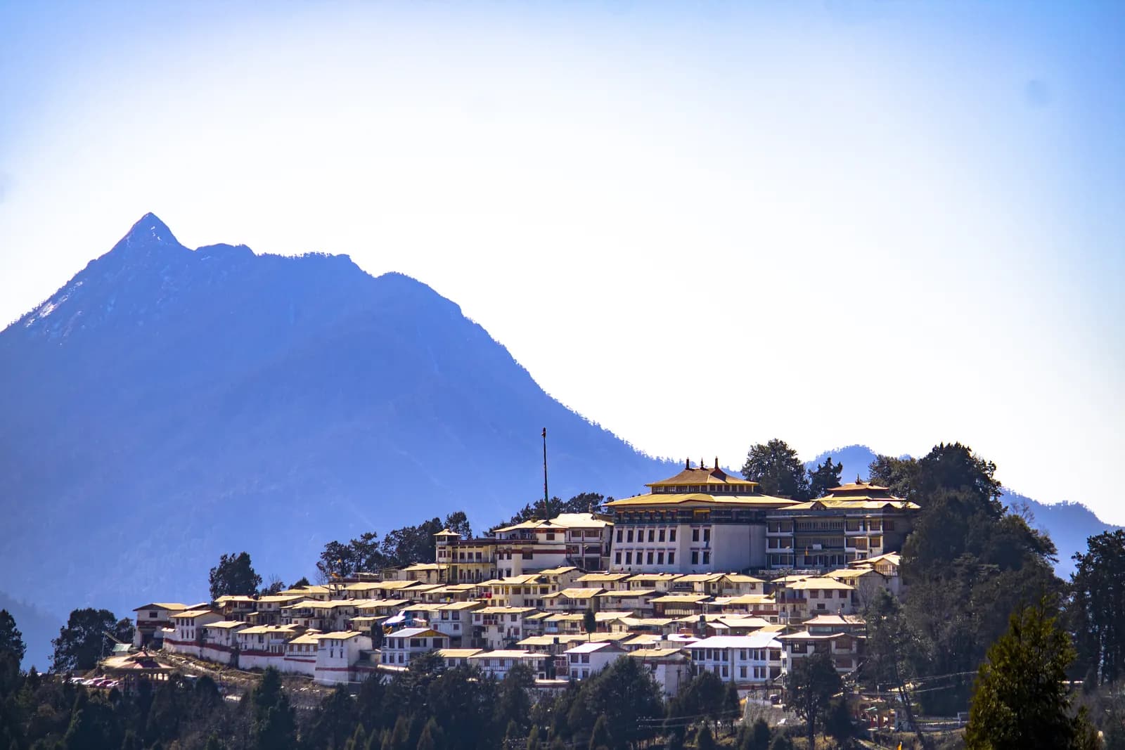
    Home of the 17th-century Tawang Monastery, the largest in India, and the cultural heart of the Monpa community.

    Elev.
    about 3,050 m
    Via
    Tezpur, via Bhalukpong

    Paved the whole way on NH-13, but high, heavily switchbacked and weather-dependent.
  • Sela Pass, Tawang / West Kameng district, Arunachal Pradesh.Seasonal

    Tawang / West Kameng

    Sela Pass

    The gateway pass between the Dirang valley and Tawang — the high point of any Arunachal ride.

    Elev.
    about 4,170 m
    Via
    Tezpur

    The Sela Tunnel, opened in 2024, bypasses the pass at about 3,000 m and gives all-weather connectivity. The pass road itself still closes in heavy snow.

  • Dirang & Sangti, West Kameng district, Arunachal Pradesh.Paved

    West Kameng

    Dirang & Sangti

    The warm valley stop below Sela. Sangti, a short spur away, is a wintering ground for black-necked cranes.

    Elev.
    about 1,600 m
    Via
    Tezpur

    The easiest major destination in the state.

  • Bomdila, West Kameng district, Arunachal Pradesh.Paved

    West Kameng

    Bomdila

    District headquarters and Bomdila Monastery — the standard first-night halt on the Tawang run.

    Elev.
    about 2,400 m
    Via
    Tezpur

    Straightforward paved running on NH-13.

  • Ziro Valley, Lower Subansiri district, Arunachal Pradesh.Paved

    Lower Subansiri

    Ziro Valley

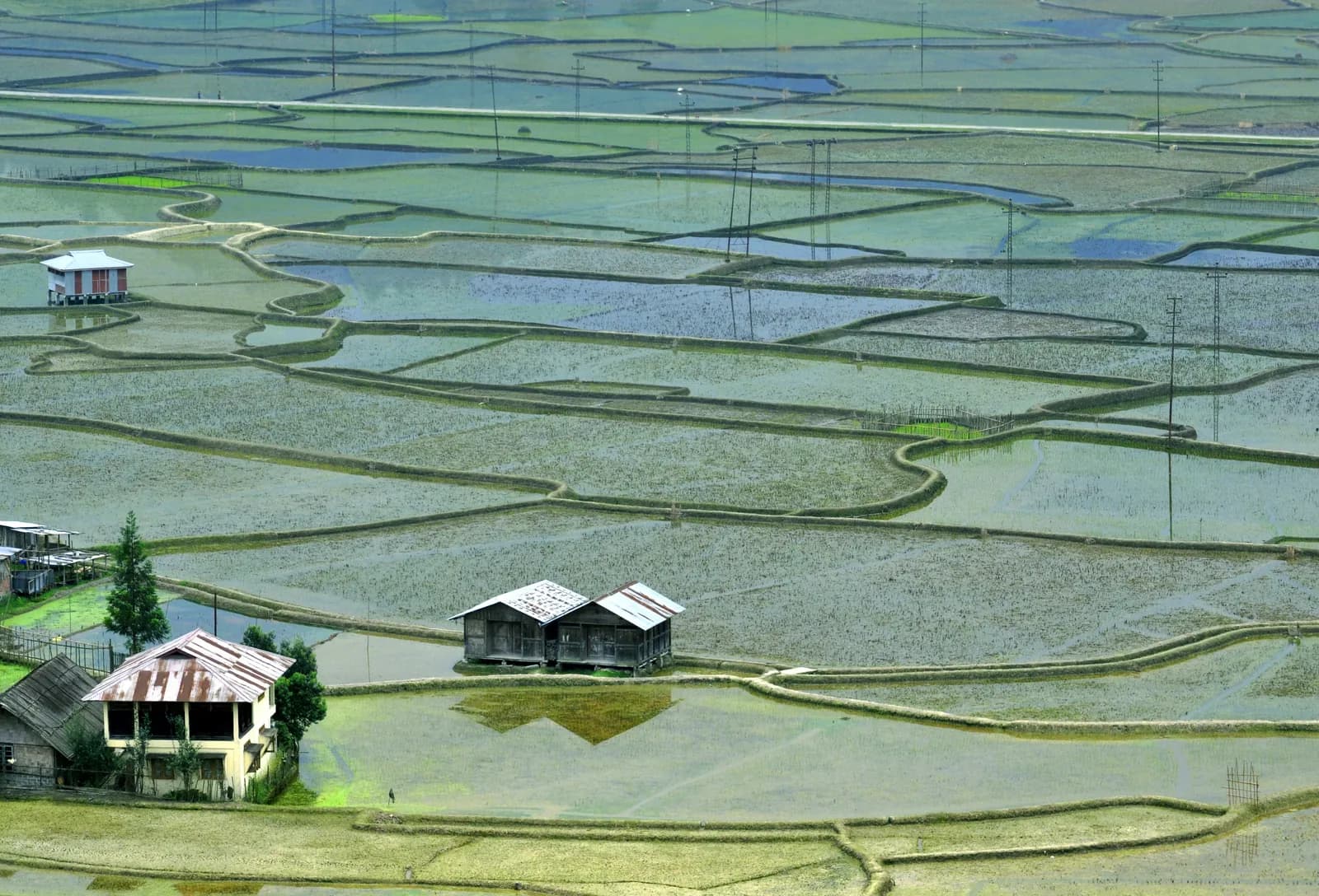
    The Apatani cultural landscape — wet-rice-and-fish terraces farmed without draught animals, on India's UNESCO tentative list.

    Elev.
    about 1,690 m
    Via
    Donyi Polo, Hollongi

    Good approach from Kimin or Banderdewa. Soft adventure rather than hard.

  • Mechuka, Shi-Yomi district, Arunachal Pradesh.Rough

    Shi-Yomi

    Mechuka

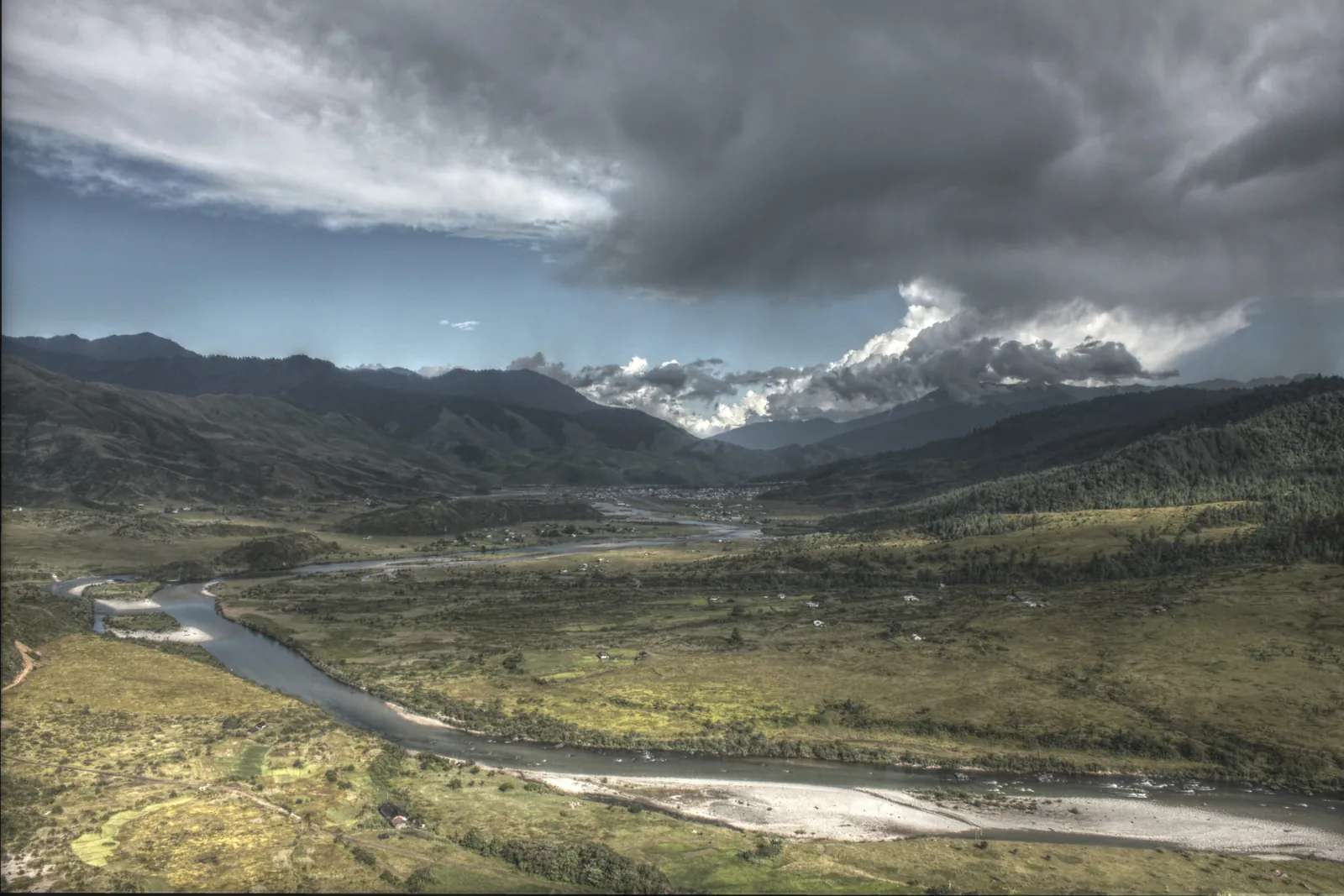
    A wide glacial valley in Memba country with a 400-year-old monastery — the most motorsport-relevant valley in the state.

    Elev.
    about 1,900 m
    Via
    Aalo is the staging town

    Long, remote and landslide-exposed from Aalo. Improving each year, but still the reason people bring a proper vehicle.

  • Pasighat, East Siang district, Arunachal Pradesh.Paved

    East Siang

    Pasighat

    The oldest town in the state, where the Siang leaves the hills. The state's whitewater and river-sport hub.

    Elev.
    about 150 m
    Via
    Pasighat airport; Dibrugarh

    Low-altitude and easy. Enter via Ruksin.

  • Aalo, West Siang district, Arunachal Pradesh.Mixed

    West Siang

    Aalo

    Confluence town of the Siyom and Sipu, in the Galo heartland — the junction for Mechuka and Basar.

    Elev.
    about 320 m
    Via
    Donyi Polo, Hollongi

    Mostly paved with rough patches. The hinge point of the western Siang loop.

  • Namdapha, Changlang district, Arunachal Pradesh.Seasonal

    Changlang

    Namdapha

    India's third-largest national park, and the only protected area recorded as holding tiger, leopard, clouded leopard and snow leopard.

    Elev.
    200 m to 4,500 m
    Via
    Miao; Dibrugarh

    The road to Miao is fine. Beyond Deban it is foot and river, not vehicle.

  • Mayudia & Roing, Lower Dibang Valley district, Arunachal Pradesh.Rough

    Lower Dibang Valley

    Mayudia & Roing

    The snow pass of the eastern circuit, above Roing on the Idu Mishmi cultural threshold.

    Elev.
    about 2,655 m
    Via
    Dibrugarh; Tezu

    Steep, broken and slippery, with snow from November to March. A genuine 4x4 road.

  • Anini, Dibang Valley district, Arunachal Pradesh.Rough

    Dibang Valley

    Anini

    Headquarters of one of India's least densely populated districts, in Idu Mishmi homeland beyond Mayudia.

    Elev.
    about 1,970 m
    Via
    Dibrugarh, via Roing

    Reached over the Mayudia road. The most committing drive on this list.

  • Dong, Anjaw district, Arunachal Pradesh.Rough

    Anjaw

    Dong

    The easternmost inhabited valley in India, and the first place in the country to see the sunrise.

    Elev.
    about 1,240 m
    Via
    Dibrugarh; Tezu

    A long approach through Tezu, Hayuliang and Walong. The final stretch to the sunrise point is a walk.

Sources for destinations
Sources (7)

Practicalities

What the road actually asks of you

Outlets cluster in district headquarters and along NH-13. The long spurs into Shi-Yomi, Dibang Valley and Anjaw run for hours between pumps. Plan on range to the next confirmed pump plus thirty percent. Roing to Mayudia to Anini is the worst leg in the state — carry out of Roing what you need for the round trip. Fill at Aalo for Mechuka, at Tezu for Walong and Dong, and at Miao for Namdapha. Carry cash; card and UPI are not assured at remote outlets.

Sources for practicalities
Sources (3)

Calendar

The calendar the state already keeps

Community observances come first and tourism second. Only fixed observance dates are given below; organised festivals move between editions, so those carry a month rather than a date.

Community observances

  • Si-Donyi

    Tagin community · Upper Subansiri

    6 January

  • Nyokum Yullo

    Nyishi community · Papum Pare, East Kameng and the Nyishi belt

    26 February

  • Reh

    Idu Mishmi community · Dibang Valley

    Usually February

  • Losar

    Monpa community and other Buddhist communities · Tawang, West Kameng

    Usually February or early March

  • Mopin

    Galo community · Leparada, Lower Siang, West Siang

    Usually early April

  • Sangken

    Tai Khamti community · Namsai, Changlang, Lohit

    Usually mid-April

  • Dree

    Apatani community · Lower Subansiri (Ziro)

    5 July

  • Solung

    Adi community · East Siang, Siang, Upper Siang

    1 September

Adventure and tourism festivals

  • Pakke Paga Hornbill Festival

    Usually January

    Pakke-Kessang

    A community conservation festival built around hornbill protection — a natural fit for the Association's environmental commitments.

  • Tawang Festival

    Usually October

    Tawang

    Monpa folk music, dance and street theatre. A cultural anchor at the end of a Tawang-circuit ride.

  • Mechuka Adventure Festival

    Usually November

    Shi-Yomi

    Paragliding, mountain biking, rappelling, river crossing and rafting. The state's established adventure-sport platform.

  • Basar Confluence (BASCON)

    Usually November

    Leparada

    A community-led rural tourism festival with trekking, cycling and river activity — locally owned rather than top-down.

  • Orange Festival of Adventure & Music, Dambuk

    Usually December

    Lower Dibang Valley

    The strongest motorsport link in the state. Dambuk hosts the JK Tyre Orange 4x4 Fury, one of India's headline off-road championships, alongside rafting, ATV rides and dirt cycling.

  • Siang River Festival

    Usually December

    East Siang

    Rafting, kayaking and angling on the Siang, one of India's premier whitewater rivers.

  • Ziro Festival of Music

    Usually September

    Lower Subansiri

    No motorsport link, but the state's largest visitor-drawing event — plan around it, not into it.

Sources for the festival calendar
Sources (5)

How to travel here

Ziro, Mechuka, Anini, Dong and Namdapha are lived-in homelands, not blank spaces. Apatani, Memba, Idu Mishmi, Meyor, Lisu and other communities farm, worship and govern in them. Name the community when you name the valley. Nothing here is untouched, unexplored or a last frontier — it is simply somewhere other people already live.

  • Ask before photographing people, homes or ceremonies.
  • Stay on established tracks. A new line cut through a field or forest is somebody's loss, not your achievement.
  • Carry out everything you carry in, including tyre-repair waste and cable ties.
  • Slow to walking pace through villages. Livestock, children and dogs use the same road you do.
  • Ford rivers at established crossings only, and never when the water is rising.
  • Where a community asks that an area not be entered, that is the end of the matter.

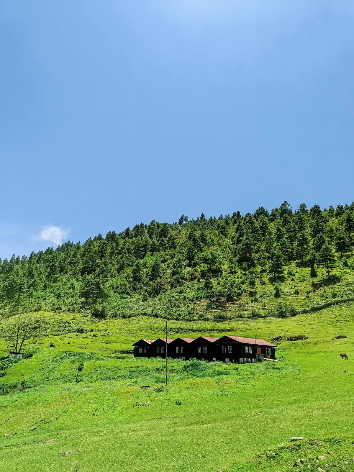
Photography in this section is used under Creative Commons licences and credited on the credits page. 27 images, all photographed in Arunachal Pradesh. None of them depicts an AMA event.